Keeping track of construction progress is essential for efficiency, transparency, and project success. Our drone-based mapping services provide high-resolution aerial imagery and detailed site documentation at regular intervals, giving builders, project managers, and investors a clear, up-to-date view of project developments. This visual record helps track progress, verify work completion, improve site planning, and ensure compliance with project timelines. By offering a comprehensive perspective from above, we enable better decision-making and streamline communication between all stakeholders.
Construction Site Documentation
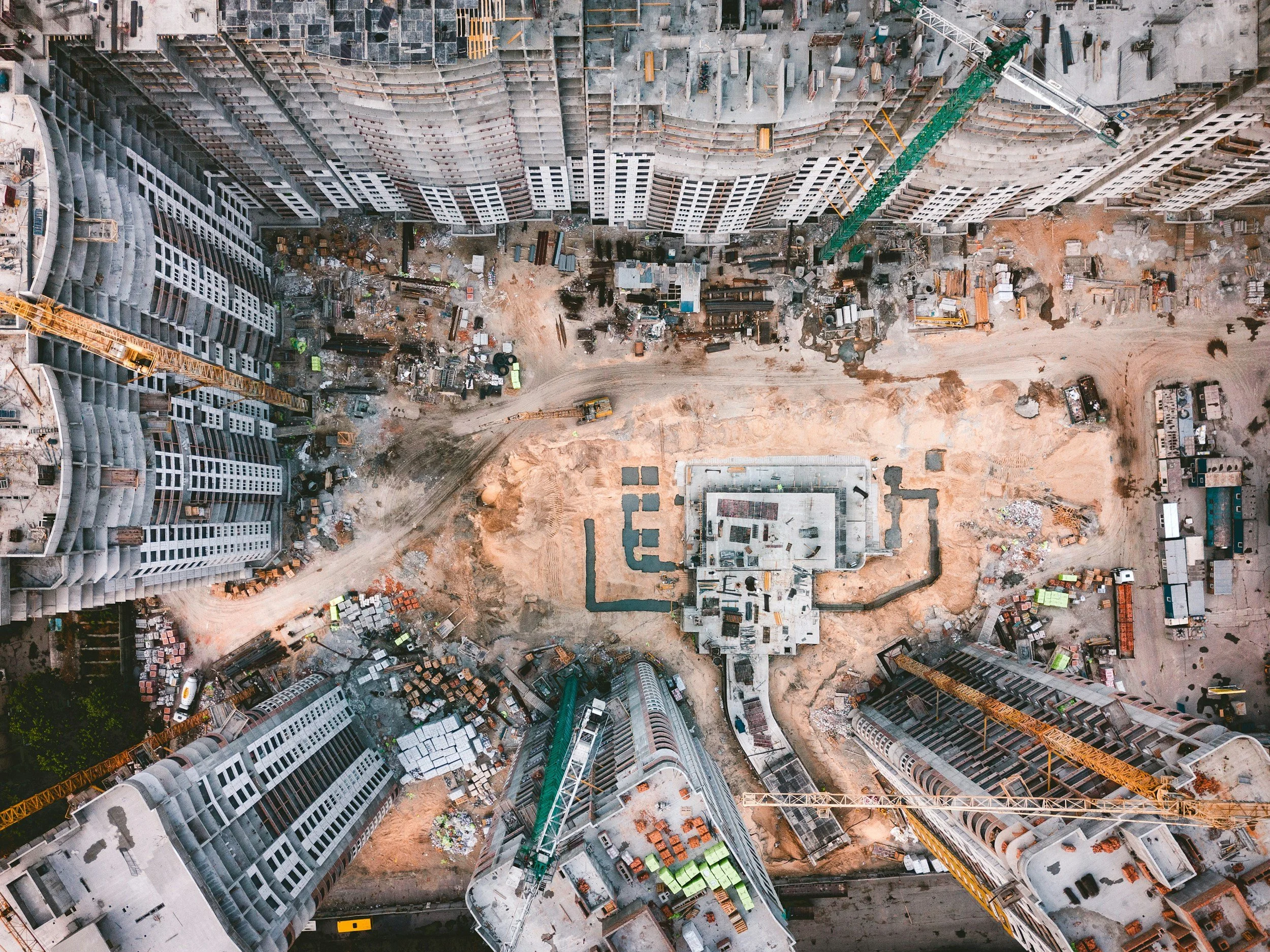
Enhancing Project Oversight
Timely and accurate site monitoring is crucial for staying on schedule and within budget. Our aerial mapping services offer a cost-effective way to document every stage of construction, reducing the need for frequent on-site inspections while providing a reliable historical record of the project.
Key benefits of our drone-based construction monitoring include:
Progress Tracking: Compare aerial images over time to measure advancements and identify potential delays.
Risk Management: Spot safety hazards, site inefficiencies, and structural concerns before they escalate.
Investor & Stakeholder Reporting: Provide clear, professional aerial updates that enhance transparency and build confidence.
Improved Site Planning: Use high-resolution imagery to optimize material placement, logistics, and workflow.
Regulatory Compliance: Ensure documentation aligns with permit requirements and construction regulations.
Whether it’s for tracking development, mitigating risks, or presenting project updates to investors, our drone technology delivers valuable insights that improve efficiency and accountability on the job site.
📍 Serving Bend, Redmond, and Sisters – Free estimates available! A $50 deposit may be required for outlying areas, which will be applied to the total cost upon job completion.